Your Geology and Drone Consultation Partner
Providing Geologic Expertise and Drone Services for Mining, Construction, Environmental, Real Estate, Energy, & Other Industries. As well as Domestic & International Environmental & Wildlife Consulting


First of all
About GeoDrone
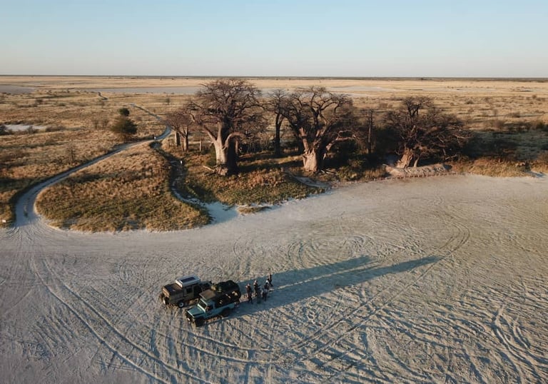
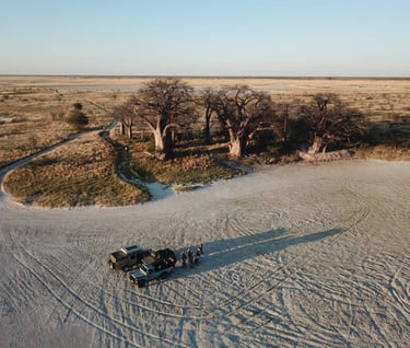
GeoDrone LLC stands as a prominent geologic, environmental & wildlife consultation firm, headquartered in central Florida. Our expertise lies in serving a diverse clientele encompassing mining, land development, real estate, agricultural, industrial, and petroleum industries. Our experts offer an extensive array of services including geologic exploration, environmental assessments, wetland assessments, wildlife studies, security assessments, and more. Using state-of-the-art drone technology, we provide 2D & 3D mapping, aerial photography, inspections, and other drone services. Trust GeoDrone for all your geologic and environmental needs.


Not to mention
Our Services
At GeoDrone, we offer a wide range of services to meet the needs of our clients in the mining, land development, real estate, agricultural, industrial, and petroleum industries. From geologic exploration to environmental assessments, our experts are here to assist you every step of the way.
And let's not forget
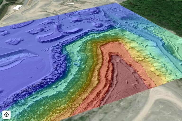
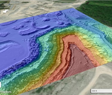
Drone Services
With our state-of-the-art drone technology, we provide a range of services including mapping, aerial photos, inspections, security assessments. Our advanced RTK LiDar & Photogrammetry mapping drones and base station ensure precise and reliable data for 2D mapping, 3D volumetric analysis, orthomosaics, topographic maps, and more. Experience the efficiency and accuracy of drone technology with GeoDrone.
We are dedicated to providing high-quality geological and environmental consultation services to our clients. With experienced professionals and advanced technology, we offer comprehensive solutions for various industries.
Our expertise includes:
Geology & Modeling - Greenfield Evaluation, Deposit Modeling, Resource Estimation for rock aggregate mines, Mine Planning, Sinkhole & Geotechnical Investigations, etc.
Operational Support – Mine Planning & Reporting, Mapping utilizing several GIS Systems (Google Earth, QGIS, OnX maps, Avenza, MineSite & Others), Haul Analysis, etc.
Due Diligence – Investment support, Sales Advisement, Resource Auditing, etc.
Environmental - Phase 1 and 2 Environmental Site Assessments, Water Use Permitting, NPDES Permitting and Stormwater compliance, Wetland and Wildlife studies.
Along with full service drone solutions for volumetric data and reports, mapping and aerial photos. We are committed to delivering accurate and reliable results to support our clients' decision-making processes.
Navigating the Earth, From Above